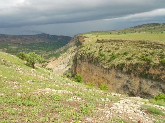
The administrative center of the kaza of same name, Hozat, is located in central Dersim on the right tributary of the Aradzan River (Arsanias in Antiquity; Trk.: Murat Su), at the source of one of the right tributaries of the Peri (Berri) River, about 42 km north of the provincial capital Harput, on a water-rich high plateau. It was surrounded by dense gardens, and 2-3 km north of the village there were forested areas.
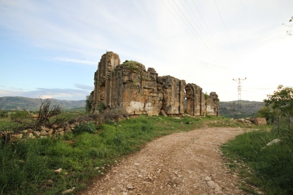
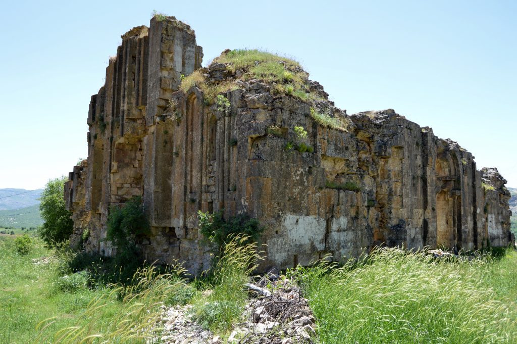
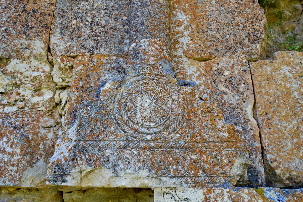
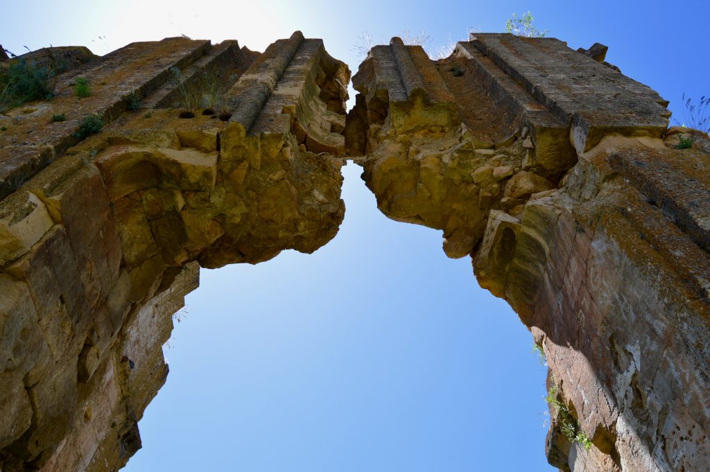
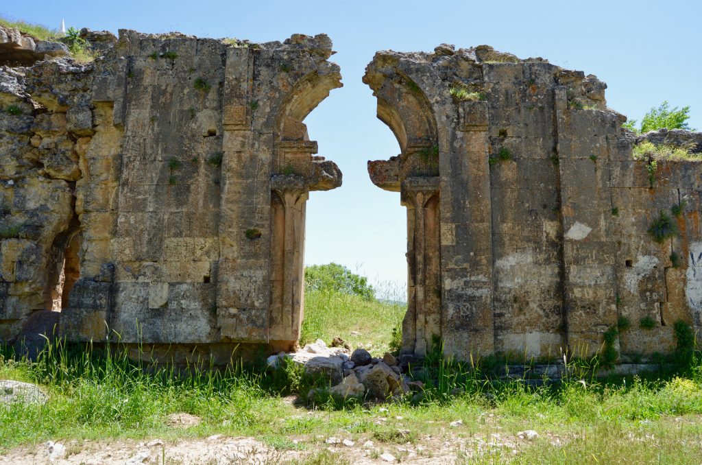
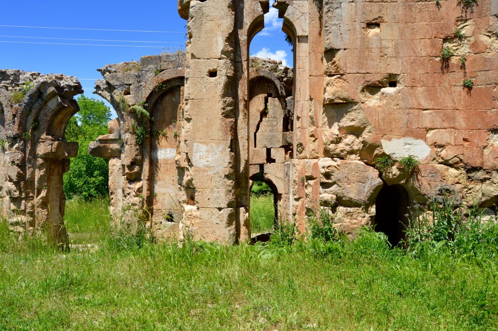
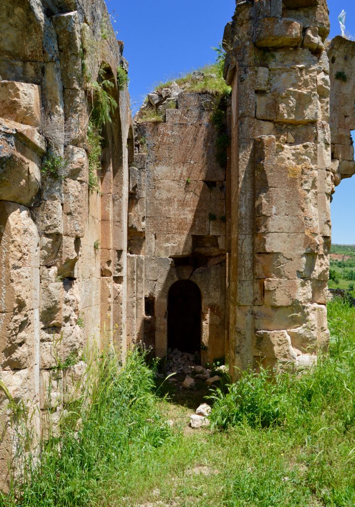
It has been said since ancient times that Hozat was a crowded and well-built settlement in the past. In the Middle Ages, Hozat was an important fortified Armenian town.
Toponym
The place-name derives from the Byzantine thema Khozanon (Grk.: Χόζανον), which emerged after the conquest of the area by the Byzantine Empire shortly after 938. Armenian varieties of the toponym are Gyuzat, Gozat, Khozad, Khozat, Ghozat, and Tsuzat.
History
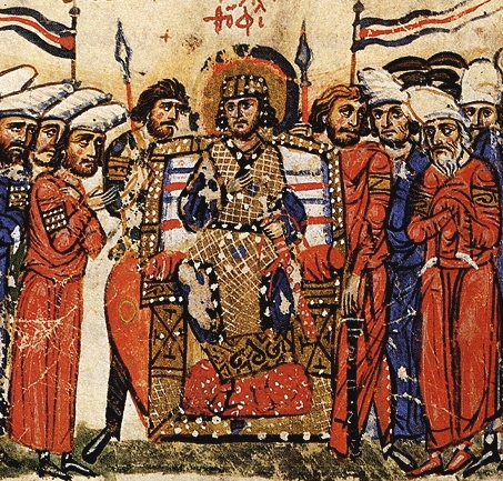
Hozat is identified with the Byzantine emperor Theophilos (Θεόφιλος; reigned 829 until his death in 842), who conquered the area during his war against the Arab (Abbasid) Caliphate; in 837, Theophilos led a vast army of 70,000 men towards Mesopotamia and captured Melitene (Malatya) and Arsamosata (Arm.: Արշամաշատ – Arshamashat) from the Abbasid Caliphate. Theophilos was the godson of Emperor Leo V the Armenian, who was also of Syriac descent.

Population
In the 1880s Hozat had 150 houses, 30 of which were inhabited by Armenians and the rest by Kurds and Turks. 1915 it had 864 houses with 8,640 Armenian inhabitants and 324 houses with 1,944 Kurdish inhabitants.[1] The data of the Armenian Patriarchate of Constantinople differ greatly from this, almost by the factor four: according to them, only 2,299 Armenians lived in 16 villages in the kaza Hozat on the eve of the World War; of these, 350 lived in the administrative seat Hozat (an “ugly village” according to R. Kévorkian) with an overall population of “scarcely 1,000”.[2] They maintained 18 churches (two of these, Surb P’rkich / Holy Savior, and Surb Gevorg / Saint George in Hozat town), eleven monasteries and five schools for 150 children.[3] In the kaza’s administrative seat, Hozat town, was a college with 70-80 students.
A part of the Armenian population was local, while the other part came from Kharberd, Arabkir (Arapgir), Akn (Eğin), Chmshkatsag (Çemişgezeg). Of the 1,835 Armenians of the kaza Medzkert (Mazgirt), the majority of 1,200 lived in Hozat. The Armenians of Hozat were engaged in trade, crafts, agriculture and gardening. The main occupation of the Kurds was cattle breeding.
Wool, carpets, fruits – especially walnuts – from Hozat were known also outside its borders. In the 1880s, Hozat had 50 shops and kiosks, several dozen workshops and a market.
Destruction
According to an official report, 1,088 Armenians were deported from the kaza Hozat.[4] Raymond Kévorkian, however, doubts the official Dersim data on the deportations from the kaza: “Given the geography of the district, this seems unlikely. It is more reasonable to suppose that about half of the Armenians fell victim to the persecutions, while the other half was able to flee to the mountains of Dersim.”[5]
)