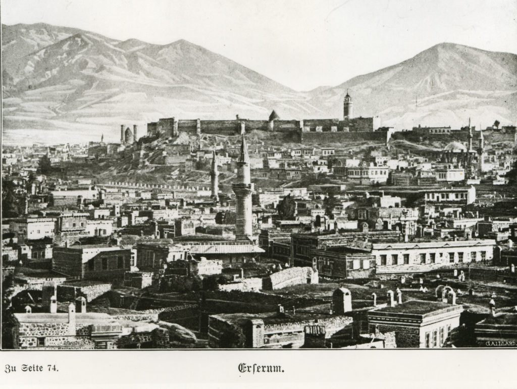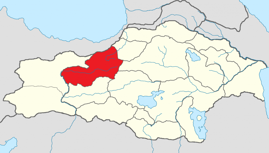
Situated in High Armenia (Բարձր Հայք – Bardzr Hayk’/Hayq) of Greater Armenia (Armenia Maior), in its eastern part, in the upper reaches of the Euphrates River, the sancak of Erzurum roughly corresponded to the plain of Erzurum. The sancak was surrounded by the Antipontic Mountains to the north, the Bingöl Mountains to the south, and the Tsiranyats Mountains to the east. The region is water-rich, the river network belonging to the Euphrates, which, in its upper course, passing through the sancak, turned a large area north of the city of Erzurum into a shallow lake, which was called Karno shamb. The sancak was rich in mineral springs. From ancient times the province of Karin was one of the centers of cultivation of grain and oil crops, and an important cattle-breeding region.
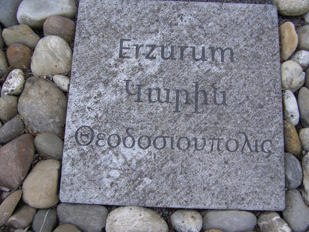
After the first division of Armenia in 387, the province became part of the Byzantine Empire, forming one of the provinces of Inner Armenia (Ներքին-Հայկ – Nerkin Hayk). In the 6th-7th centuries it had a separate Armenian Apostolic bishopric.
Administration
The Ottoman sancak Erzurum comprised eight kazas: Erzurum, Ovacik, Kiğı, Tercan (Mamahatun), Hınıs (Khnus), Tortum, Yusufeli (Kiskim), Hasankale/Pasinler.
Population
According to the Ottoman census of 1893 the sancak Erzurum had a total population of 394,900; of these, 312,200 were Muslims, 73,900 Armenian Apostolic Christians, 5,400 Catholics, 1,700 Protestants and 1,500 Greek Orthodox Christians.